To demonstrate the iiCollector for a design-build construction project, engineers from Resource International, Inc. inspected the roadside safety features on U.S. Route 42 and compared them with the prevailing manuals. The technicians used the iiCollector web-app to gather information on the total number and condition of all signs, guardrails and other roadside safety features in a matter of a few hours.
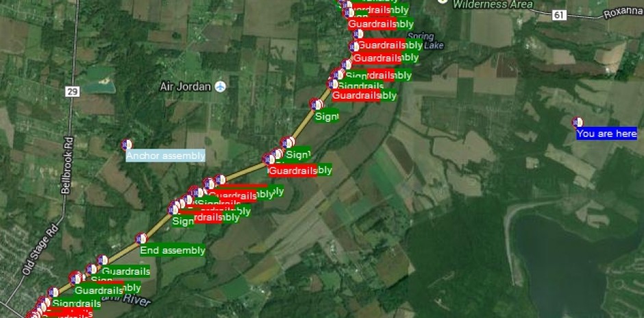
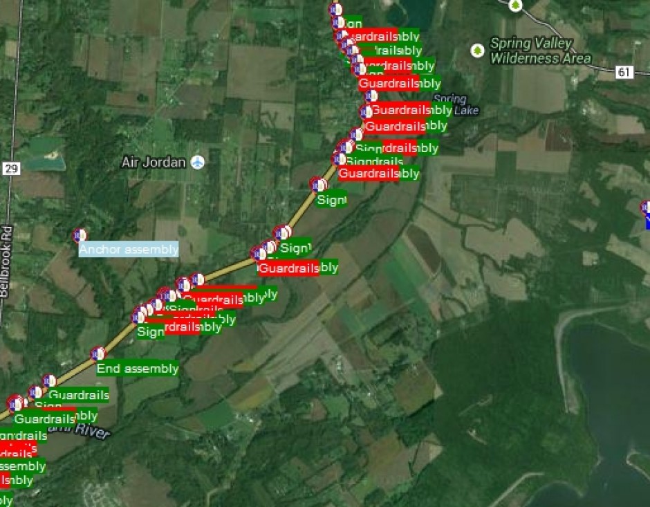
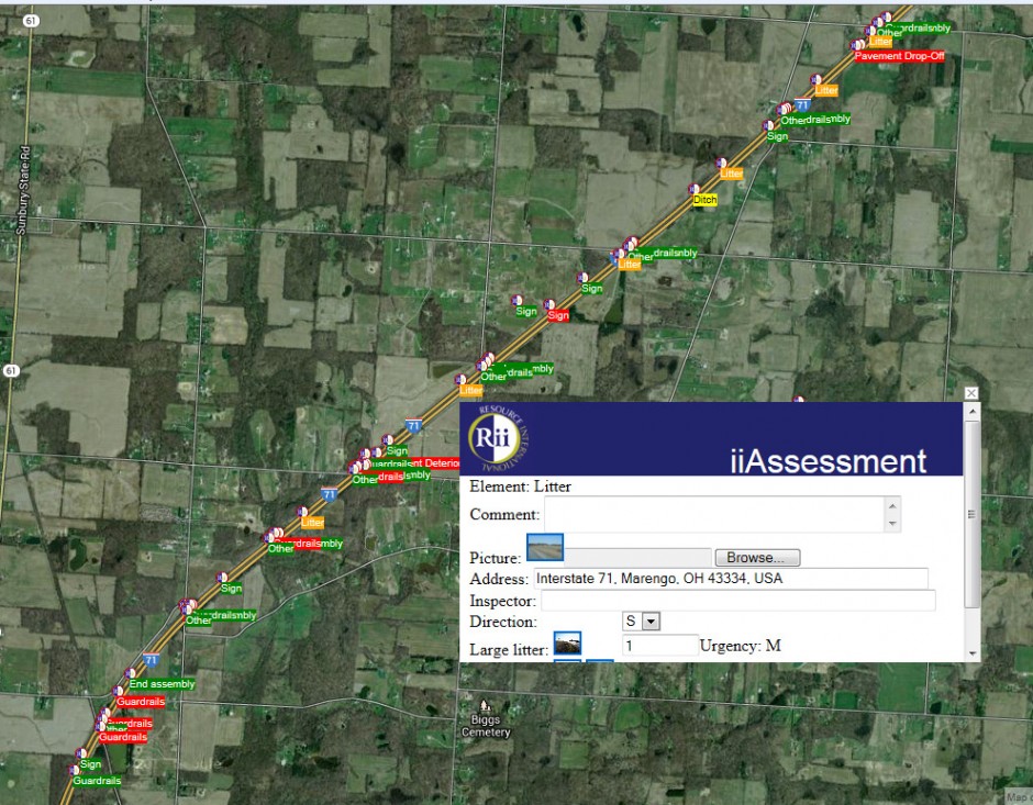
The project, Warren-Green U.S. 42, consisted of 8 miles of multi-lane divided roadway in the northeast corner of Warren County, near Waynesville, Ohio. There were a total of 170 assets collected in less than 8 hours using the iiCollectorTM. Each asset that was examined was logged into projectgrid.com with a photo of the asset, a rating based on the condition of the asset and geo-reference on the map provided by Google maps. The app rated each asset and gave it a color-coded point on google maps, depending on its severity. Reports were derived from ProjectGrid.com.
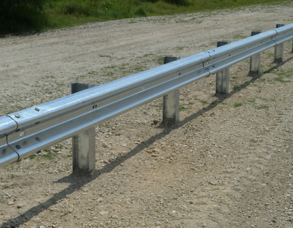
Using the data in the field collected on U.S. Route 42, engineers were able to analyze the roadside safety features and identify deficiencies. Based on the overall assessment, technicians determined which guardrails did not meet the safety requirements and must be replaced on U.S. Route 42.


